Check an unfamiliar raster
Inspect the image, dimensions, bands and available CRS before deciding how to process the original.
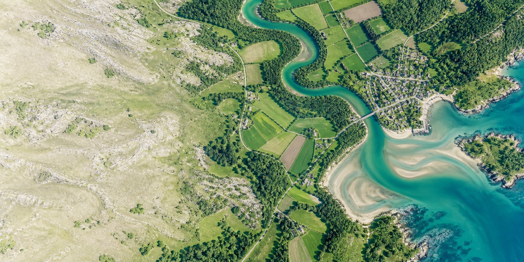
Open a raster, make the details visible, and prepare an image for your report. A focused viewer for a quick look, without setting up a full GIS project.
View, adjust and export in your browser. Your file contents are not uploaded to our servers.
Choose bands, adjust the display range and inspect file information alongside the image. Start with a local file or explore the included example.

Select or drop a .tif or .tiff file. Files stay in your browser; there is no file upload service.
Choose RGB or grayscale and available bands. Use automatic contrast or set a minimum and maximum value.
Save the entire rendered preview as JPG or PNG for a document or presentation. Keep the original GeoTIFF for geospatial work.
Inspect the image, dimensions, bands and available CRS before deciding how to process the original.
Try different bands and display ranges. An unexpected preview does not necessarily mean a damaged file.
Prepare a picture for someone who needs the visual, not a GIS dataset or specialist software.
Exports contain the displayed colors at the preview resolution, not original bands, scientific values or georeferencing. This is a viewer, not a GIS editor, reprojection tool or satellite download catalog.
GeoTIFF is a TIFF image with geographic metadata describing where the raster belongs. An ordinary TIFF need not include that information.
A photo viewer may not interpret specialized bands or value ranges as expected. Try the relevant band and automatic contrast. This adjusts the display; it does not repair damaged data.
This version reads the first image of supported grayscale and RGB TIFFs, including tested 8-bit, 16-bit, floating-point and Deflate examples. Limits: 128 MiB per file, 16 million source pixels, 96 MiB decoded data and 8 bands. Palette, rotated TIFF orientation and premultiplied-alpha files are not supported.
No. These are ordinary rendered images, up to 1.2 million preview pixels with a 1536-pixel longest edge. Export saves the full preview, not just the visible zoomed area. Keep the source GeoTIFF for map placement or analysis.
The viewer reads your chosen file locally in the browser and exports a new image. It does not upload file contents or overwrite the original. Loading this website and its example still requires network requests.
Use GIS software for editing, reprojection, spatial analysis and scientific measurement. This tool is designed for viewing, display adjustment and a simple image export.
Plain-language answers and practical workflows, from your first TIFF to a report-ready preview.

Understand the file you received, what the viewer does and when you need a different tool.
Read guide
Check the display settings before assuming your TIFF is empty or damaged.
Read guideMake an easy-to-share picture while keeping your original geographic data intact.
Read guideBuild a short lesson around seeing, describing and explaining a raster image.
Read guide
Create a communication preview from a supported extract, not a substitute for survey QA.
Read guideMake imagery understandable without turning display colors into unsupported agronomic conclusions.
Read guideTurn an existing raster into a readable figure without losing track of what its values mean.
Read guideGive stakeholders an accessible picture while keeping authoritative geometry in GIS or CAD.
Read guideStart with a file or try the example. Keep the original for the work that needs its data.
Open viewer